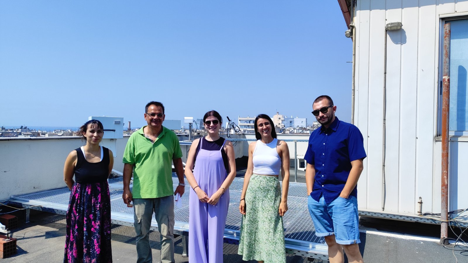
From 24 August to 4 September 2026, PhD student Maria Poutli completed an STSM focused on the synergistic use of ground-based lidar and satellite observations for wildfire smoke characterization. The training combined hands-on THELISYS lidar measurements—specifically exploring its fluorescence capabilities to distinguish smoke, dust, and pollen—with water vapour calibration using Raman and AERONET data to investigate particle hygroscopicity. To complement these ground-based profiles with broader spatial data, satellite observations were heavily utilized; this included analyzing IASI products to study smoke-dust interactions over Cyprus, and using Python-based tools to evaluate TROPOMI products (AI, ALH, AOD, and CO) for tracking the 2021 wildfires along the southern coast of Turkey. Furthermore, the STSM addressed EarthCARE validation strategies by applying automated EARLINET aerosol typing and layering approaches to Cyprus data. Finally, the mission expanded local data processing capabilities by initiating the implementation of the new ELDAmwl and LTOOL modules within the Single Calculus Chain (SCC) environment.
Short-Term Scientific Mission Maria Poutli | EARLICOST | 24 August-4 September 2026